EXPLORE THE SEABED WITH TABLET AND AUGMENTED REALITY
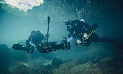
Fabio Bruno and Antonio Lagudi (Photo by Matteo Collina)

The exploration of the seabed today can make use of new technologies able to provide a valid support to orient themselves and receive useful information.
Thanks to the research projects that the University of Calabria together with its spin-off 3D Research srl has conducted in recent years, an augmented reality and 3D navigation system has been developed based on the use of a special underwater tablet, equipped with an acoustic localization system, which allows divers to view their position on a map, to receive information on points of interest, depth and dive time. This technology was conceived both to enrich the visiting experience for tourists and to support the work of technical-scientific operators in activities such as, for example, research and recovery or documentation and environmental monitoring.
The first version of the underwater tablet was created (from 2014 to 2016) within the VISAS project (Valorization Integratedof Submerged Archaeological Sites - www.visas-project.eu) to improve the usability of submerged archaeological sites. One of the challenges to create a system of this type is linked to the fact that in the underwater environment the classic terrestrial positioning systems, such as GPS, do not work because the signal coming from the satellites is attenuated by the water to the point that it succeeds. to penetrate only a few hundred meters below the surface of the sea. To this end they have been exploited since these acoustic waves, unlike those electromagnetic, propagate very well underwater.
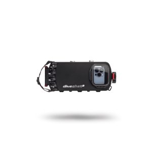
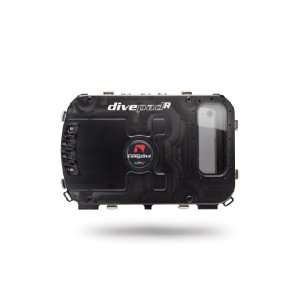
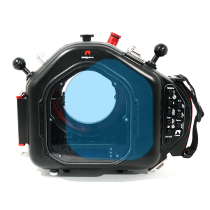
The tablet is housed in a special aluminum case produced by Easydive, the Divepad, the first universal case in the world for IOS and Android tablets, compatible with all tablets up to a maximum size of 10 ”. Like all Easydive cases it is simple and robust. The tablet is controlled via the electronics inside the case, once the bluetooth connection is activated. Keys equipped with optical sensors have made it possible to eliminate the physical keys and the potential waterways they imply. It allows you to take pictures using all the potential of the camera, to shoot video even in the same dive, and ... much more.

The tablet was therefore equipped with an underwater positioning system developed by Applicon, another Calabrese spin-off operating in the underwater acoustic communications sector. This localization system is able to compensate for the absence of the GPS signal in an underwater environment through the use of acoustic waves, which operate on frequencies that are not audible to humans and which do not disturb the marine ecosystem. Thanks to this system, the tablet provides divers with information on their position within the site, the depth at which they are located, as well as on the direction and path to follow to reach the various points of interest.
The graphical interface of the App is able to provide a lot of useful information to the user, such as the immersion time, the depth and temperature of the water, the quality of the acoustic signal, information on the route and on the points of interest already visited and those to visit, improving the experience of visiting the site for both recreational and technical-scientific divers. The tablet also allows you to take geo-localized photos of the most exciting moments of the dive. This feature is useful not only from a recreational point of view but also from a professional one. In fact, during a technical or scientific dive the diver, in addition to having a greater knowledge of his position within the site, can document in a more accurate and simple way than in the past, the activities carried out through writing of notes or the acquisition of photos and videos, with the advantage of being able to know the precise point where each of these was produced. This technology, which was initially tested at the “Capo Rizuto” Marine Protected Area, was also exported, thanks to the Interreg Med - BLUEMED project (https: //bluemed.interreg-med.eu), in Croazia and Greece where it can be used to visit some fascinating wrecks of ancient ships with loads of amphorae and dolia. But the most innovative aspect that has been developed and tested in recent years is the possibility of enjoying, through the tablet, specific augmented reality content for underwater cultural heritage.
This technology was developed by 3D Research in the research project i-MareCulture (Immersive serious games and augmented reality as tools to rai se awareness and access to european underwater culture - www.imareculture. eu), funded by the European Commission under the Ho rizon2020 Program. By activating thefunctionality augmented reality, the diver is able to view, through the tablet, the reconstructive nephew of the archaeological site and to understand more deeply the ancient ruins he is visiting, observing not only what "is" but also what it probably "was".

The structural hypotheses are realized through a precise work flow that starts from the 3D survey of the site, realized through the combination of optical and acoustic techniques, to arrive at the modeling of the reconstructive hypotheses. Thanks to the collaboration with the Archaeological Park of the Phlegraean Fields and the Central Institute for Restoration, the experimentation of Underwater Augmented Reality was conducted at the Submerged Archaeological Park of Baia. Here lie the remains of ancient Roman villas, submerged due to bradyseism, which are visited by thousands of divers, many of whom come from abroad. Thanks to this new technology, tourists will be able to appreciate the enormous extension and the rich finishes of these luxurious villas, having the opportunity to understand in which environments they are moving with their fins, by reading the description of the points of greatest interest. and, above all, by observing in augmented reality the 3D reconstructions that show how these villas could have appeared in their original splendor.
But the underwater tablet can also be a valid support tool for technical and scientific divers engaged in exploration, research and recovery and documentation activities. Thanks to the Lab4Dive project (Mobile Smart Lab for augmented archaeological dives - www. lab4dive.eu), funded under the EMFF program of the European Union, 3D Research and the Polytechnic University of Marche have collaborated with Greek partners to make the underwater tablet a real low-cost portable laboratory that helps archaeol already divers during the activities of relief, documentation and conservation of the submerged archaeological heritage. Underwater archaeologists can explore shipwrecks and submerged archaeological sites using the tablet to orient themselves even in poor visibility conditions, thanks to augmented navigation features and to the possibility of planning, through a specific software, the activities before making the dive. The system also allows you to annotate areas of interest directly during the dive, memorizing the exact point where the photo was taken or the note was written. At the end of the dive, all the data acquired via the tablet are stored on a cloud system to be viewed and processed later. The tablet also interfaces with a high-resolution camera to automatically acquire photos that can be used to produce a 3D map of the site or a portion of it. The characteristics of the Lab4Dive system allow to speed up and simplify the documentation of submerged archaeological sites. Furthermore, diving safety can also benefit from these new technologies, because from the surface it is possible to monitor the movements of divers equipped with tablets, to communicate via predefined messages and, in the future, it will also be possible to monitor the vital parameters of divers. thanks to the technologies that some partners are developing in the DIVE SAFE project (www.divesafe.eu).
3D RESEARCH
3D Research was born in 2008 from the idea of some researchers of the University of California who set themselves the goal of innovating the use of cultural heritage using the techniques of virtual and augmented reality. After a few years spent on dry land, they decide to focus on underwater archeology, developing and experimenting with the first applications of 3D photogrammetry on submerged cultural heritage. From there comes the idea of using virtual reality to allow everyone, even those who do not practice diving, to be able to experience the thrill of diving on a wreck of the Second World War or on the remains of an ancient submerged city. Finally, the idea of putting a tablet in the hands of divers that allows them to orient themselves and explore the seabed more easily.

Top photo courtesy of the Greek Ministry of Culture and Sport - Ephorate of Underwater Antiquities.
Photo below courtesy of the Campi Flegrei Archaeological Park and the Central Institute for Restoration.
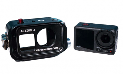
NEW OSMO ACTION CASE CARBONARM FOR OSMO ACTION 3-4
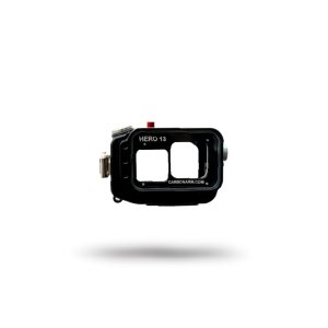
This time let's talk about the case Osmo Action Case, an anticorodal aluminum case...
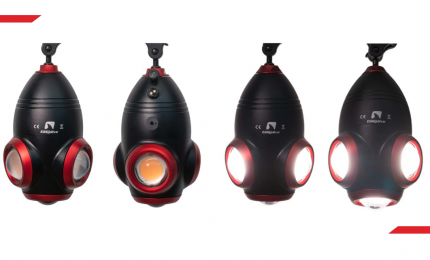
NEW LIGHT FOR EASYDIVE AT THE 29TH EUDI SHOW
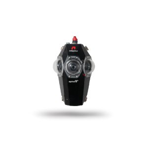
One year after the launch of Sphera, the housing for Insta360 Pro2 for 360°...
THE NEW UNIVERSAL APP EASY DIVE PICS
In Summer 2023 Easydive releases a new App: EASYDIVE PICS
HOUSING FOR INSTA360 X3
Presented and tested in Live Facebook on March 30, 2023, is the new housing for Insta360 X3.

 Caissons sous marins
 Éclairage Sous Marins
 Accessoires
 Hublot en plexiglas
 Hublot en cristal
 Bagues d'extension
 Bagues de lentilles
 Housses et bouchons
 Pièces de rechange pour hublots
 Accessoires recommandés
 Batteries et câbles
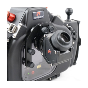 Viseurs
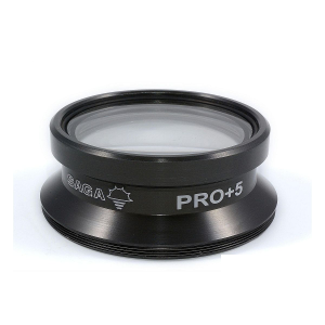 Lentilles macro et grand angle
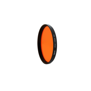 Filtres
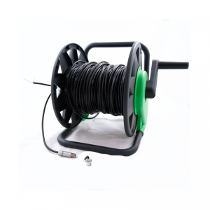 Commande à distance
 Supports et sangles
 Moniteurs externes
 Pièces de rechange pour accessoires
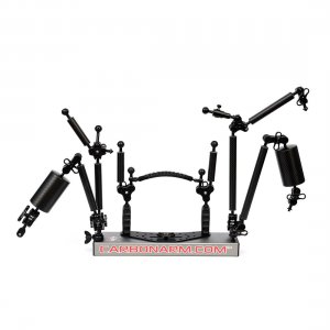 Bras kit
 Bras
Bras 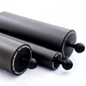 Bras flotteur
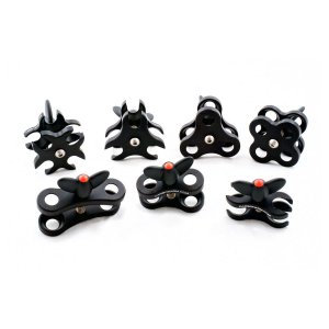 Pinces
 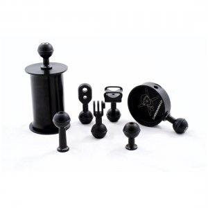 Rotules de base et terminales
 Platines
 Poignées
 Polecams
 Trépied
 Casques
 Pièces de rechange pour bras et supports
